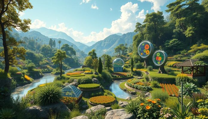
Imagine turning your land into a green paradise with just a few clicks. Permaculture digital mapping has changed how we design sustainable landscapes. It brings precision and speed to planning your outdoor space.
Today, designers have over 50 digital tools to help with site analysis and design. These tools let professionals and homeowners plan and optimize their landscapes like never before.
Tools like Google Earth and QGIS make sustainable land use easier and more intuitive. Designers can now create detailed maps, analyze soil, and plan zones with ease.
Key Takeaways
- Digital mapping transforms permaculture design processes
- Over 50 tools available for landscape planning
- Free and affordable options exist for all skill levels
- Precision mapping enhances sustainable land management
- Technology bridges traditional permaculture principles with modern innovation
Understanding Permaculture and Its Significance
Permaculture is a new way to work with nature. It changes how we use land. It uses regenerative agriculture to make landscapes that last and are healthy.
Core Principles of Permaculture
Permaculture has key principles for taking care of the land:
- Observe and interact with natural ecosystems
- Capture and store energy efficiently
- Obtain a sustainable yield
- Apply self-regulation and accept feedback
- Use and value renewable resources
Benefits of Permaculture Practices
Permaculture brings many benefits:
- Enhanced biodiversity
- Reduced environmental impact
- Improved soil health
- Water conservation
- Increased food security
“Permaculture is a design approach that helps us live harmoniously with nature, creating systems that are both productive and sustainable.” – Bill Mollison
Role of Sustainability in Permaculture
Permaculture focuses on making ecosystems better. It works like nature to make landscapes that heal themselves. This way, we need less outside help and the environment stays healthy.
Digital tools are now big helpers in permaculture. They help us plan better by showing us the land’s details, water paths, and weather patterns. This makes our sustainable plans even better.
The Role of Digital Mapping in Permaculture
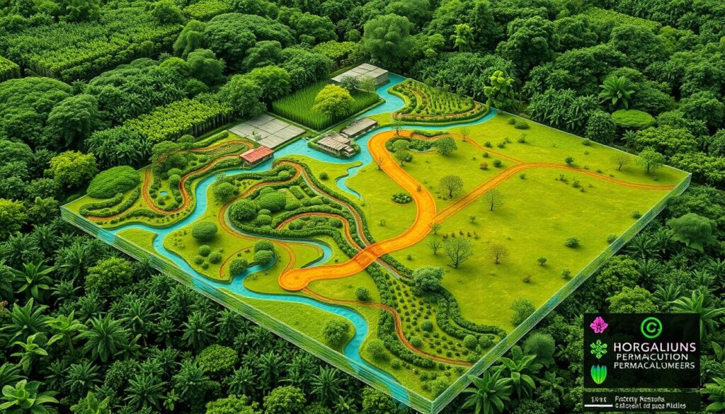
Digital mapping has changed permaculture design a lot. It gives us powerful tools for comprehensive land analysis. Geospatial analysis turns complex landscape info into useful insights. This makes agricultural mapping key for sustainable planning.
What is Digital Mapping?
Digital mapping is a smart way to handle and show spatial data. In permaculture, it lets designers make detailed maps of landscapes. These maps include many layers of environmental info.
- Captures precise geographical details
- Integrates multiple data layers
- Provides visual representation of landscape characteristics
Importance of Mapping in Design
Agricultural mapping does more than just survey land. It offers interactive tools for understanding terrain. Geospatial analysis helps permaculture experts make smart choices about land use and ecosystem design.
Digital mapping transforms raw landscape data into strategic design opportunities.
How Digital Maps Improve Planning
Modern mapping tech lets designers analyze environmental factors with great accuracy. By using Geographic Information Systems (GIS), permaculture pros can:
- Assess soil composition
- Evaluate water resources
- Identify microclimatic zones
- Optimize land use strategies
These advanced digital tools help designers make permaculture systems better. They give deep insights into what the landscape can do.
Types of Digital Mapping Tools for Permaculture
Digital mapping has changed permaculture design a lot. It offers tools that help analyze and plan land use better. From geographic information systems to mobile apps, these tools give deep insights into land potential.
Now, permaculture designers use advanced open-source mapping. These tools help make land management strategies more precise. They also help create detailed environmental assessments with great accuracy.
Geographic Information Systems (GIS)
Geographic Information Systems are key in permaculture mapping. Programs like QGIS and Whitebox GAT let designers:
- Overlay multiple data layers
- Analyze geographical relationships
- Create comprehensive site assessments
- Visualize complex environmental interactions
Online Mapping Platforms
Web-based platforms offer easy mapping solutions for permaculture fans. Tools like Caltopo provide free detailed maps. Users can:
- Generate custom terrain maps
- Track land features
- Plan water flow strategies
Mobile Mapping Applications
Mobile apps have made field research easier with their simple interfaces. Mapeo, made by Digital Democracy, lets users collect data offline. It links GPS points, photos, and notes without needing the internet.
Drones and Aerial Mapping
Drones are bringing new ways to see landscapes. They take high-resolution images. This helps with precise topographical analysis and keeps an eye on permaculture sites.
“Digital mapping turns landscape design from guesswork into a scientific approach” – Permaculture Design Magazine
Key Features to Look for in Mapping Tools
Digital mapping has changed how we design permaculture, making it easier for landscape planning and resource management. Choosing the right mapping tool is key for success in community and indigenous mapping.
When looking at digital mapping tools for permaculture, designers need to check a few important features. These features help make projects work better.
User-Friendliness and Accessibility
An easy-to-use interface is key for digital mapping. The best tools should have:
- Simple navigation
- Clear visual representations
- Minimal technical barriers
- Compatibility across multiple devices
Data Accuracy and Precision
Precision is important in permaculture design. Community mapping needs tools that offer:
- High-resolution satellite imagery
- Accurate topographical information
- Detailed terrain measurements
- Real-time data updates
Integration with Other Software
Seamless software integration boosts digital mapping tools. Designers should look for platforms that work well with:
- Geographic Information Systems (GIS)
- Design software
- Environmental modeling programs
- Cloud storage platforms
“The right mapping tool transforms complex landscape data into actionable insights.”
By focusing on these key features, permaculture experts can use digital mapping to create better, more sustainable designs.
Advantages of Using Digital Mapping in Permaculture
Digital mapping has changed how permaculture designers work. They use new tech to make better landscape designs. These designs use the land’s full potential.
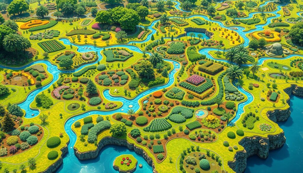
Digital mapping brings big benefits to permaculture projects. It helps make better decisions.
Enhancing Soil and Water Management
Digital tools give deep insights into soil and water. Practitioners can:
- Check soil details with digital maps
- See where water flows
- Find best spots for water systems
- Save water with smart irrigation
“Digital mapping transforms our understanding of landscape dynamics, turning complex environmental data into actionable insights.”
Optimizing Land Use and Layout
Participatory mapping helps make landscapes better. Designers use tech to:
- Boost crop yields
- Reduce waste
- Build strong farms
- Anticipate and solve environmental issues
Improving Community Involvement
Digital mapping makes design open to everyone. Communities can join in planning through:
- Interactive mapping platforms
- Design workshops
- Sharing data
- Clear decision-making
Digital mapping gives permaculture designers great tools. They create landscapes that are sustainable, efficient, and community-focused.
Creating Useful Permaculture Maps
Digital mapping changes permaculture design by offering strong tools for analyzing space. It helps in making detailed plans for farming. Today, designers can make complex and accurate landscape designs thanks to technology.
To make good permaculture maps, you need to know different mapping ways. You also need to use digital tools. This lets designers plan and see sustainable landscapes in new ways.
Understanding Layers in Mapping
Layers in mapping are key for good permaculture design. Digital tools let designers make different layers:
- Topographical contours
- Soil composition
- Water drainage patterns
- Vegetation zones
- Microclimate regions
Using Satellite Imagery
Satellite images give great insights for farming maps. Google Earth has free tools that help designers:
- Quickly pick areas for projects
- Make detailed land use maps
- Look at geographical features
- Export project files easily
Incorporating Soils and Topography
Knowing soil and topography well is key for permaculture design. Digital tools help get important landscape info.
| Mapping Feature | Digital Tool Capability |
|---|---|
| Soil Analysis | Detailed composition mapping |
| Topographical Mapping | Contour and elevation tracking |
| Water Flow | Drainage pattern visualization |
“Digital mapping bridges imagination and implementation in permaculture design” – Sustainable Landscape Experts
Using both digital and hand-drawn methods is the best way for permaculture mapping. Designers can use technology but still keep a personal touch with the land.
Case Studies of Successful Digital Mapping
Digital mapping has changed how we design permaculture. It offers new ways to understand and improve ecological landscapes. People are using community mapping and ecological design to make our environment more sustainable and efficient.
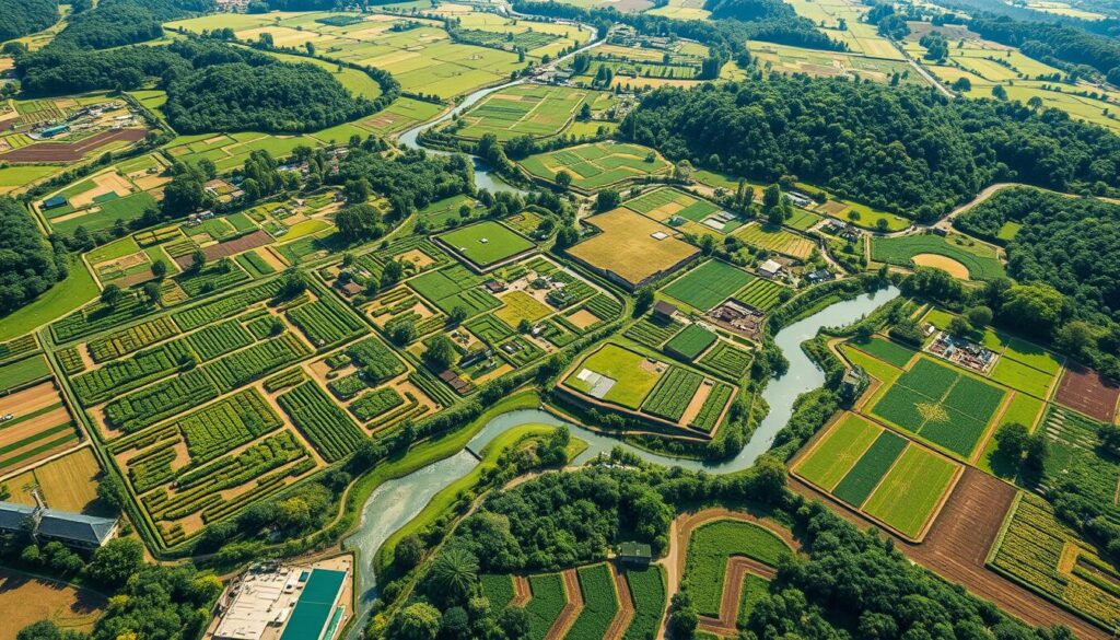
Successful digital mapping projects show how technology can improve permaculture. These examples show how mapping can change landscape planning and community involvement.
Urban Permaculture Mapping Innovations
- Detroit Urban Agriculture Project used GIS to map vacant lots for gardens
- San Francisco used digital mapping to better use green spaces
- New York City mapped micro-climate zones for better food production
Rural Permaculture Digital Mapping Strategies
Rural areas are using digital mapping to manage land better. Tools like QGIS help analyze terrain, water, and ecosystems.
| Location | Digital Mapping Tool | Key Outcome |
|---|---|---|
| Colorado Farm Collective | SAGA GIS | Improved water management |
| Oregon Regenerative Ranch | Whitebox GAT | Enhanced soil conservation |
Community Engagement Success Stories
Digital mapping lets communities help design their environment. Platforms let people share local knowledge, making solutions more inclusive and effective.
“Technology transforms how we understand and interact with our landscape” – Permaculture Design Collective
By using digital mapping, permaculture can create stronger, more adaptable environments. These environments meet community needs and ecological conditions.
Challenges of Digital Mapping in Permaculture
Digital mapping tools bring unique hurdles for those in permaculture. These tools are powerful but face several big challenges. These challenges make it hard to use them widely.
Technology Access in Remote Regions
Open-source mapping faces big issues in rural and indigenous areas. The lack of digital tools and internet makes it tough to use these tools.
- Unreliable internet connectivity
- Limited technological infrastructure
- High equipment costs
- Minimal technical training opportunities
Data Privacy Complexities
Indigenous mapping puts community and culture first. Digital tools must respect this. They also need to keep sensitive info safe.
“Technology should serve communities, not exploit them” – Indigenous Land Management Collective
Learning Curve for New Users
Switching to digital mapping is hard for permaculture designers. The complex systems can scare off new users.
| Software Difficulty | User Adaptation Time |
|---|---|
| Basic Mapping Tools | 1-2 weeks |
| Advanced GIS Software | 3-6 months |
| Specialized Permaculture Platforms | 2-4 weeks |
Knowing these challenges helps permaculture experts find ways to beat them. They can make mapping tools more open and easy to use for everyone.
Collaborating with Experts
Successful permaculture design needs teamwork from different experts. Tools like participatory and community mapping are key. They help make land management plans that everyone can agree on.
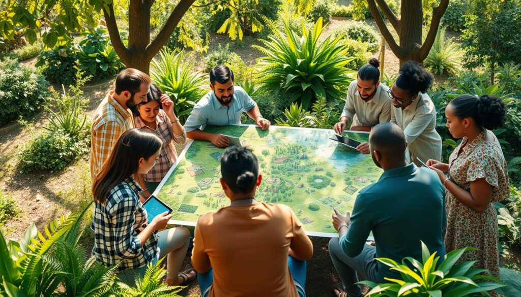
Teams with many skills make permaculture projects better. They mix technical know-how with local insights. This way, they create lasting and green solutions.
The Value of Multidisciplinary Teams
Good permaculture design needs many experts:
- GIS technicians
- Environmental engineers
- Sustainability researchers
- Local community experts
- Certified permaculture designers
Finding Local Mapping Support
Finding local mapping help means networking and doing research. Community mapping projects connect you with experts who know the area well.
| Professional Type | Contribution to Permaculture Design |
|---|---|
| GIS Specialist | Precise spatial analysis and mapping |
| Ecologist | Ecosystem interaction insights |
| Local Planner | Regulatory and community context |
Engaging with Designers and Planners
Good teamwork needs clear talk and shared goals. Participatory mapping techniques help everyone’s voice be heard. This way, designs are better for all.
“In permaculture, the whole is greater than the sum of its parts” – Collaborative Design Principle
Experts should aim for designs that meet both technical and community needs. This ensures permaculture solutions that last and adapt well.
Future Trends in Digital Mapping for Permaculture
The world of digital mapping is changing fast, bringing new chances for permaculture. New tech is changing how we use geospatial analysis and open-source mapping. This makes sustainable land management easier and more accessible.
Digital ecosystem mapping is now key, adding 7 percentage points to digital value. More companies see the value of advanced mapping in boosting efficiency and creativity.
Advancements in Technology
New tech is making digital mapping better. Some big changes include:
- Artificial Intelligence for better data analysis
- Blockchain for safer data
- Virtual and augmented reality for mapping
- Advanced tools for geospatial analysis
Integration of AI and Machine Learning
AI is changing how we map. It can cut data time by up to 30%. This gives us deep insights into permaculture and ecosystem management.
“The future of permaculture lies in our ability to leverage technology while maintaining a deep connection with natural systems.” – Permaculture Innovation Network
Increasing Accessibility and Affordability
Digital mapping tools are getting easier to use and cheaper. 70% of companies think these tools are key to staying ahead. This lets more people use advanced permaculture designs.
- Lower costs for mapping tech
- Easier-to-use interfaces
- More open-source platforms
- Cloud-based mapping options
As digital mapping grows, permaculture designers will have better, easier, and cheaper tools. These tools will help with sustainable land management and ecosystem design.
Training Resources for Digital Mapping Skills
Learning permaculture digital mapping needs good learning resources. People wanting to get better at ecological design can find many training options. These options mix technology with sustainable landscape planning.
Online Courses and Webinars
Online learning sites have special courses on ecological design and geospatial tech. Some key training options include:
- Introduction to GIS Mapping for Permaculture
- Digital Ecosystem Design Workshops
- Advanced Landscape Visualization Techniques
Community Workshops
Local and regional workshops give you hands-on experience in permaculture digital mapping. These sessions let you learn from experts.
| Workshop Type | Duration | Focus Area |
|---|---|---|
| Earth Activist Training | 6 weeks | Comprehensive Permaculture Skills |
| Digital Mapping Intensive | 10 days | Practical Geospatial Techniques |
| Restoration Design Workshop | 2 weeks | Landscape Restoration Strategies |
Recommended Reading Materials
Grow your knowledge with selected resources on ecological design and digital mapping:
- Permaculture Design Handbook by Bill Mollison
- GIS for Sustainable Development by expert cartographers
- Online journals on geospatial technologies
“Continuous learning is the key to mastering digital mapping in permaculture design.” – Permaculture Education Network
By using these detailed training resources, you can improve your ecological design skills. The mix of technology and sustainable practices opens up new ways to manage landscapes.
How to Implement Digital Mapping in Your Projects
Digital mapping has changed how we plan landscapes for farming and sustainable land use. It makes complex planning easier and more efficient.
To start using digital mapping, you need a good plan and careful steps. Tools like farmOS help make design and management smoother.
Step-by-Step Implementation Guide
- Choose the right digital mapping software (like farmOS or Google Earth)
- Gather all site data, including topography and current features
- Make base maps with satellite images and geographic info
- Add more data like soil types, water sources, and plants
- Start designing your landscape, keeping sustainability in mind
Common Pitfalls to Avoid
- Don’t ignore the importance of accurate GPS coordinates
- Remember to consider local climate and microclimates
- Keep your maps up to date
- Be aware of integration issues between different platforms
Data Gathering and Analysis Strategies
Getting accurate data is key for good agricultural mapping. Tools like farmOS can track a lot of data quickly, giving you deep insights.
| Mapping Tool | Key Features | Cost |
|---|---|---|
| farmOS | Community garden management, asset tracking | Open-source |
| QGIS | Free geospatial analysis, customizable layers | Free |
| Google Earth | Base map creation, satellite imagery | Free |
“Digital mapping transforms complex landscape design into an accessible, collaborative process.” – Permaculture Design Expert
Using digital mapping, permaculture experts can make land use plans more efficient and sustainable.
The Impact of Digital Mapping on Community Building
Digital mapping has changed how communities work together. It helps them design and manage resources better. This way, people can share knowledge and find solutions for their local areas.
Community mapping is a key tool for uniting people. It helps different groups with the same goals come together. It makes it easier to see how things are connected in a community.
Fostering Collaboration Among Stakeholders
Digital mapping offers a chance for everyone to work together. Stakeholders can:
- Share geographic information in real-time
- Find common resources in the community
- Plan together for the future
- Watch environmental changes together
Creating Shared Visions for Future Projects
With innovative urban permaculture design, communities can use digital mapping to:
- See how sustainable changes could work
- Make sure everyone’s goals are aligned
- Make decisions together
Building Resilience Through Technology
Digital mapping helps communities be more resilient. It gives them tools for planning and adapting. Technology helps communities face environmental challenges head-on.
“Digital mapping isn’t just about technology—it’s about connecting people and their shared environments.”
Evaluating Success in Permaculture Designed with Mapping
Measuring the success of regenerative agriculture projects is key. Digital mapping has changed how we track and assess these projects. It gives us deep insights into how well they’re doing.
Metrics for Measuring Project Success
Good permaculture projects have many success factors. They can be checked by looking at several important signs:
- Biodiversity enhancement
- Soil health improvement
- Water conservation metrics
- Crop productivity
- Carbon sequestration rates
Case Study Insights
Real-world examples show digital mapping’s strength in tracking permaculture project developments. A seven-acre project made great strides with smart zone planning and resource use.
Digital mapping allows us to visualize complex ecological interactions with unprecedented precision.
Long-Term Sustainability Goals
Sustainable design needs ongoing monitoring and adjustments. Successful regenerative agriculture projects aim for:
- Creating resilient ecosystems
- Reducing external inputs
- Boosting system efficiency
- Increasing biodiversity
The true success is not just in quick results, but in building lasting, regenerative landscapes that grow and flourish over time.
The Intersection of Technology and Nature
Permaculture design is at a key point where technology meets nature. It’s important to find a balance between new tools and old wisdom. This balance helps us navigate the relationship between technology and nature.
Today, we use digital mapping to help with sustainable land use. This method combines modern tech with the knowledge of indigenous communities. It shows how valuable their ecological insights are.
Balancing Digital Tools with Traditional Knowledge
- Respect indigenous ecological understanding
- Integrate digital mapping with cultural wisdom
- Preserve traditional land management techniques
“Technology should enhance, not replace, our connection with natural systems.” – Ecological Design Innovator
The Role of Permaculture in Climate Resilience
Digital tools help us understand and tackle environmental issues. By mixing tech insights with permaculture, we can make our ecosystems more adaptable and strong.
| Technology | Ecological Benefit |
|---|---|
| Satellite Mapping | Landscape Analysis |
| Climate Modeling | Predictive Adaptation |
| Drone Imaging | Resource Monitoring |
Ethics of Technology Use in Agriculture
Using technology wisely in farming is crucial. Ethical digital mapping puts community and environment first. It looks beyond quick tech wins for long-term benefits.
The best future mix will blend new tech with respect for nature and old wisdom. This way, we can make progress without harming the planet or people.
Conclusion: The Future of Permaculture and Digital Mapping
Permaculture digital mapping is changing how we farm, mixing tech with nature. It helps us make better, more productive land. This is true for all kinds of places.
These new tools let farmers design better systems. Studies show permaculture can make land three times more diverse. It also improves soil and health. This shows how tech and design can change farming for the better.
Final Thoughts on Integration
Digital tools are changing farming, making it more precise and flexible. With blockchain and community sites, farmers can work together better. This breaks down old barriers and connects ecosystems.
Encouragement for Adoption
New tech makes it easy for anyone to use permaculture mapping. It doesn’t matter if you garden in the city or farm in the country. These tools help you make your land more sustainable and productive.
Call to Action for New Practitioners
We need new ways to farm that use tech and nature. We encourage everyone to try digital mapping and regenerative design. Together, we can make a stronger, more sustainable world.
