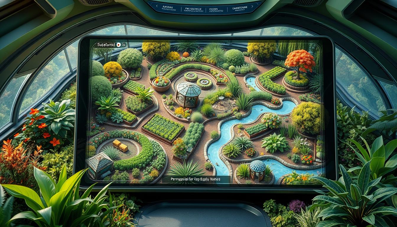
As a passionate permaculture enthusiast, I often found myself staring at a blank canvas. I was overwhelmed by the endless possibilities of transforming a plot of land into a thriving, self-sustaining ecosystem. But thanks to the advancements in permaculture design software, planning and implementing these regenerative systems has become easier and more rewarding.
Digital tools have the power to streamline the permaculture design process. They allow us to map, zone, and analyze our sites with precision and efficiency. These permaculture mapping tools and permaculture site analysis software not only foster creativity but also simplify collaboration. This makes it easier to bring our visions to life.
Whether you’re a seasoned permaculture designer, a budding permaculture gardener, or a homeowner eager to incorporate permaculture landscape design into your backyard, these digital solutions offer a wealth of opportunities. They help unlock the full potential of your land.
Key Takeaways
- Permaculture design software provides tools for mapping, zoning, and site analysis to streamline the planning and implementation of permaculture principles.
- These digital tools enhance efficiency, foster creativity, and simplify collaboration in the permaculture design process.
- Permaculture design software caters to a wide audience, from industry professionals to homeowners, with user-friendly interfaces and specialized features.
- Integrating permaculture principles into digital design tools can help users create more sustainable, regenerative landscapes and ecosystems.
- The use of permaculture design software can lead to more comprehensive, visually appealing, and collaborative permaculture plans.
Introduction to Permaculture Design Software
Permaculture design software is changing how we plan and create landscapes. These tools make designing easier, boost creativity, and help people work together. They are key for both hobbyists and professionals in permaculture.
What is a Landscape Design App?
A landscape design app lets you see, try out, and make your outdoor areas come to life. You can play with plants, water features, and more. This way, you can keep tweaking your design until it’s just right.
Benefits of Using Software for Permaculture Designs
- Streamlined Layer Creation: Permaculture design software makes it easy to work with layers. This helps you plan and visualize your designs better.
- Minimized Drafting Hassles: These apps cut out the need for manual drafting. So, you can focus more on the creative side of your design.
- Enhanced Layout Flexibility: The software lets you try out different layouts. This helps you find the best way to arrange your outdoor space.
- Automated Scaling: The software handles scaling for you. This ensures your design elements are the right size and proportion.
- Easy Sharing: Permaculture design apps make it easy to share your work. This helps with communication and getting feedback from others.
- Clarity and Professionalism: These apps give your designs a clear and professional look. This makes them more appealing and convincing.
- Time Efficiency: Permaculture design software makes the whole process faster. This saves you time and effort.
Using these innovative tools, permaculture designers can be more creative, work better together, and be more efficient. This changes how we see and create our outdoor spaces.
Geographic Information System (GIS) Software
Geographic Information System (GIS) software is a key tool in permaculture design. It lets designers work with spatial data and make detailed maps. Programs like QGIS, Whitebox GAT, and SAGA GIS help analyze geographical information. They also let users overlay different data layers and see how site features relate to each other.
This tool is great for mapping permaculture zones, sectors, soil types, and topography. It helps designers make smart choices with accurate data. By using GIS software, people can better visualize and design their permaculture systems.
| Software | Key Features |
|---|---|
| QGIS | Free and open-source GIS software that can handle a wide range of spatial data formats and provides advanced analytical capabilities. |
| Whitebox GAT | Powerful geospatial analysis tool that offers a user-friendly interface and a comprehensive set of tools for terrain analysis, hydrological modeling, and more. |
| SAGA GIS | Robust GIS software that focuses on geoscientific applications, providing a wide range of tools for spatial data processing, analysis, and visualization. |
By using permaculture GIS software in their design, practitioners can make better plans. This leads to more sustainable and resilient systems.
“GIS software is a powerful tool for permaculture planning, allowing users to analyze topography, soil types, precipitation, and vegetation types to create detailed site plans.”
Computer-Aided Design (CAD) Software
Permaculture designers use CAD software to make detailed site plans and designs. These tools help them turn ideas into clear, visual plans. They show garden layouts, where plants go, and the layout of pathways and structures.
Free CAD Software for Permaculture Designers
For those on a tight budget, there are free CAD software options. LibreCAD, Blender, NanoCAD, FreeCAD, Onshape, Solid Edge Community Edition, and OpenSCAD are some examples. They let designers make detailed plans without spending a lot of money.
In the early 2000s, 3D animation software like 3D Studio Viz became popular for architects. Autodesk’s buyout of 3D Studio showed their focus on architectural software. Now, 3D software is easier to get, helping more people in graphic design and rendering.
| CAD Software | Pricing Model | Supported Operating Systems |
|---|---|---|
| LibreCAD | Free | Windows, macOS, Linux |
| Blender | Free | Windows, macOS, Linux |
| NanoCAD | Free, Paid Upgrades | Windows |
| FreeCAD | Free | Windows, macOS, Linux |
| Onshape | Free, Paid Subscriptions | Web-based, Mobile Apps |
| Solid Edge Community Edition | Free | Windows |
| OpenSCAD | Free | Windows, macOS, Linux |
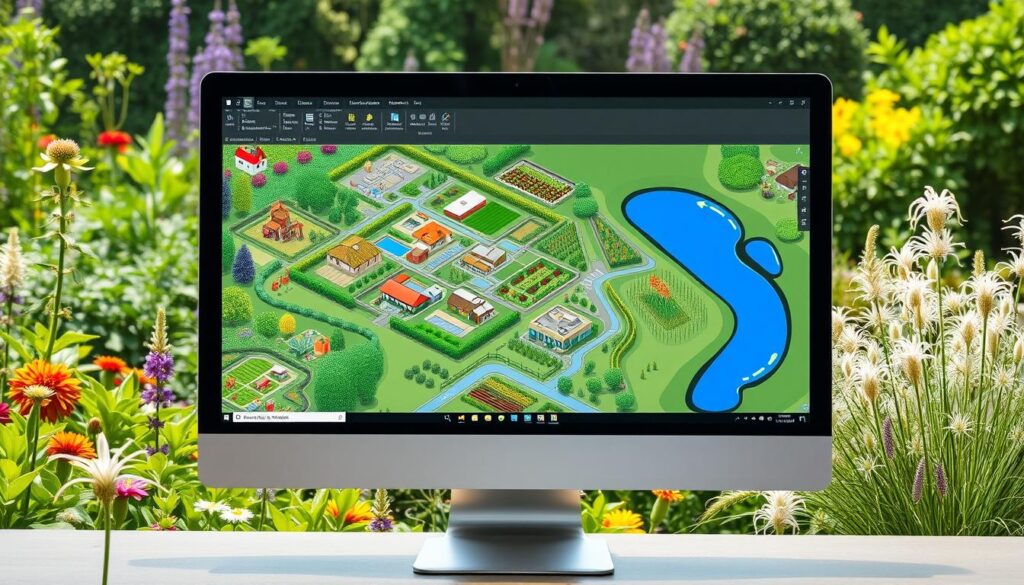
Creating walk-through animations of farms or homesteads is a key feature in CAD software for permaculture. This visual tool helps explain design ideas better, making them easier for others to understand.
“The use of computer software facilitates efficient dragging and dropping of pre-designed elements like trees, rows, and garden beds.”
CAD software is very helpful, but hand drawing is also valuable. Hand drawing lets designers use their senses and think more deeply. Mixing digital and analog methods leads to better permaculture designs.
Beginner-Friendly Landscape Design Apps
For those new to permaculture design, landscape design apps are easier than CAD software. These apps are simple and offer many benefits for beginners. Some top picks include Planter, iScape, Landscaper’s Companion, Garden Planner, LawnStarter, VizTerra, Uvision 3D Landscape Creator, Home Design 3D Outdoor, Garden, and the free SketchUp.
These beginner permaculture design apps and user-friendly landscape design apps have easy-to-use interfaces. They come with tools for permaculture, are affordable, and have community support. They also let you see your designs come to life and try out different ideas.
“You can garden in just 15 minutes a day, seven of those minutes should be spent observing.”
Observation and planning are key in permaculture garden design. These beginner permaculture design apps and user-friendly landscape design apps help with zone planning and plant selection. They make it easy to apply permaculture principles to your designs.
Whether you dream of a food forest, a colorful edible landscape, or a peaceful backyard, these apps are great tools. They help you explore new ideas and make your permaculture vision a reality.
SAGE: A Comprehensive Permaculture Design Software
SAGE permaculture design software is a top tool for planning sustainable landscapes. It lets users create thriving permaculture systems. You can input your location and climate data to get personalized plant recommendations and planting dates.
Custom Climates and Permaculture Principles
SAGE is great because it considers your unique climate. By entering your location, it offers plant suggestions that fit your environment. This makes sure your design works well with your local ecosystem, boosting your food production.
Interplanting and Guilds in SAGE
SAGE also focuses on interplanting and guilds, key in permaculture. It suggests plants that work well together, reducing the need for extra inputs. With SAGE’s Designer feature, you can arrange plants and elements for a beautiful and efficient design.
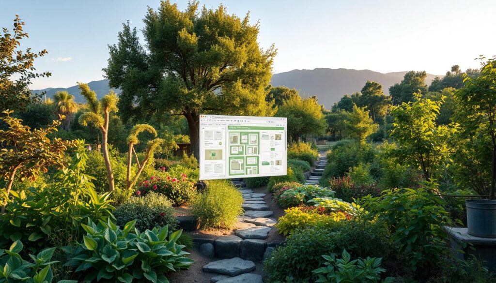
“SAGE has been a game-changer for my permaculture journey. The software’s personalized recommendations and intuitive interface have helped me create a thriving food forest that produces an abundance of healthy, organic produce.”
– John Doe, Permaculture Enthusiast
Whether you’re new to permaculture or experienced, SAGE offers a wide range of features. It helps you plan and start your dream permaculture garden. Discover how custom climates, interplanting, and guilds can make a resilient and productive ecosystem.
permaculture design software
To get the most out of SAGE, users need to input key information. They must provide their physical address, climate type, and USDA hardiness zone. This helps SAGE give personalized suggestions based on their growing conditions.
The SAGE app makes entering data easy. Users can input their location details directly through the app. They can also enter plant information through the Plant List View. SAGE keeps user address info safe and never sees payment details.
SAGE automatically saves most changes. But for actions like saving a design, users must click “Save” or “Next”. This makes sure all important data is saved and easy to find later.
| SAGE Data Entry Requirements | Benefits |
|---|---|
|
|
By providing essential SAGE data entry, users can unlock the full potential of this comprehensive permaculture design software. This ensures their designs are tailored to their local SAGE location data and SAGE plant data.
SAGE Designer Feature
The SAGE designer feature lets users plan their permaculture gardens with great detail. It’s like a blank canvas for gardeners to arrange plants, paths, and structures. They can think about spacing, vertical plantings, and how plants work together.
The SAGE designer has many layers, like Terrain, Structures & Paths, Areas, Borders, and Plants. This helps users focus on one thing without messing up others. They can zoom in and out, edit paths and borders, and move or delete things as they perfect their design.
Whether you’re making a small urban garden or a big permaculture area, the SAGE designer helps you make it real. It lets you design your SAGE garden planning with amazing SAGE visual design tools. You can make your outdoor space a thriving, green place that meets your SAGE landscape design dreams.
Unleashing the SAGE Designer’s Potential
The SAGE designer has many tools to help you create your dream garden. Some key features include:
- Customizable SAGE layers for precise control over SAGE terrain, SAGE structures and paths, SAGE areas, SAGE borders, and SAGE plants
- Intuitive zooming and panning capabilities for a comprehensive view of your garden
- Seamless editing of control points for SAGE borders and custom paths
- Effortless movement, copying, and deletion of garden elements
Whether you’re experienced in permaculture or just starting, the SAGE designer feature helps you make the most of your outdoor space. It lets you grow a healthy, green ecosystem that fits your vision.
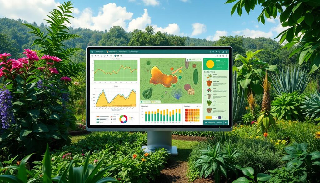
Understanding Water Interaction for Effective Design
Permaculture design highlights the vital role of water in making landscapes sustainable. It’s key to know how water interacts with the land to create lasting systems. Misunderstanding water can cause problems like water shortages, floods, and soil erosion.
Designers use tools like contour maps and laser levels to understand water flow. They analyze these tools to map the land’s topography. This helps them spot important features like slopes and water channels.
- Contour maps show the land’s terrain and water flow.
- Tools like transits and laser levels measure elevations for better water management.
- This knowledge helps design landscapes that work with the natural water cycle.
Good water interaction permaculture design looks at the whole site. It considers water management permaculture and water and permaculture principles. This approach makes sure the design fits the site’s water needs, creating a strong and productive permaculture system.
“Permaculture design is not just about creating beautiful landscapes; it’s about understanding the intricate relationships between water, soil, and vegetation to build sustainable, regenerative systems.”
Contour Mapping and Land Reading Tools
Understanding the land is key in permaculture design. Contour maps show how water moves over a property. But making these maps can be hard for some designers. The Adaptive Habitat Land Design program uses Google Earth Pro to help.
The Adaptive Habitat Contour Map Generator makes creating contour maps easy. It helps designers start their work. These maps show elevation changes and topography, with intervals of 1m to 2m (3ft to 6ft).
Adaptive Habitat Land Design Program
The Adaptive Habitat Tool guides designers through the design process. It works within Google Earth Pro. This makes it easier to manage data and create permaculture plans.
The Adaptive Habitat Process Pyramid is at the heart of the program. It’s a detailed guide for designing and managing land. It ensures all important steps are followed, from site analysis to the final plan.
“The Adaptive Habitat Land Design program is a game-changer for permaculture designers, providing the tools and workflows to unlock the full potential of a property and create truly regenerative landscapes.”
Leveraging Google Earth Pro for Permaculture Design
Google Earth Pro is a great tool for permaculture designers. It helps them design land more easily. Designers can make detailed maps, organize data, and follow a clear design process. They don’t need expensive tools or complicated software.
The Adaptive Habitat Land Design program uses Google Earth Pro’s tools. It helps both pros and DIY fans make their permaculture dreams real. It offers three main tools:
- Adaptive Habitat Contour Map Generator
- Adaptive Habitat Tool for data management
- Adaptive Habitat Process Pyramid for land design
The program’s creator has over 12 years of experience with Google Earth Pro. They’ve made a mapping package with ten design layers. This lets users see big areas and share data easily.
Some designers use Adobe Illustrator and Photoshop for mapping. But, the Adaptive Habitat program is cheaper and easier to use. Designer PJ Chmiel says the program’s ability to use Google Maps and aerial photos is very helpful.
| Software Tool | Use in Permaculture Design |
|---|---|
| Google Earth Pro | Contour mapping, site data organization, structured design workflow |
| Adaptive Habitat Land Design Program | Specialized tools for leveraging Google Earth Pro’s capabilities |
| Realtime Landscaping Plus 2013 | Grid layout, importing Google Maps and aerial photos as overlays |
| Adobe Illustrator and Photoshop | Mapping and visualization (more costly options) |
| Vectorworks | Ecological design (used by PJ Chmiel’s friend) |
Google Earth Pro makes permaculture design easier and more efficient. Designers can create sustainable plans quickly and accurately.
Conclusion
Permaculture design software and digital tools have changed how we plan and manage landscapes. They offer special features that make the permaculture design process easier, boost creativity, and help work together. From GIS for detailed maps to easy-to-use apps and big platforms like SAGE, there’s a wide range of tools for sustainable land care.
These tools help permaculture fans create landscapes that are healthy and work well with nature. They can use advanced features for things like water analysis, mapping, and plant guilds. This makes planning and doing designs better and faster.
The growth of permaculture depends on these design software options. They make sustainable land care more accessible to everyone. By combining old design ways with new tech, permaculture software is a key tool for a better, greener future.
